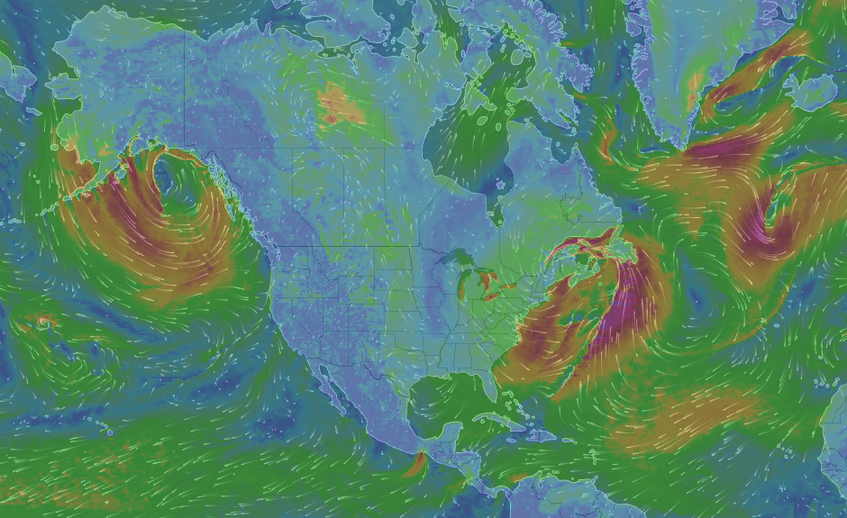
While camping and general travel adventures typically only require a standard weather forecast that can be found on your favorite local TV station, radio station, or weather app (ours is Accuweather) spending multiple nights out on the hook while boating can require a bit more detail. I was turned onto WindyTV by one of the cruising blogs I follow, Zero To Cruising. If you are a data junkie like I am you will love WindyTV. If you are overwhelmed when presented with too much data I don’t recommend clicking on the link. From planning anchorage choices, clothing selection and even best departure times this site really presents a wealth of data and allows you to focus on what you need to know. Wind and wave reports are my favorite. At the very least it will give you an idea of the chop to expect on the Potomac. For example temperature and snow excluded the winds indicate that Monday is a good day for anchoring out in Mattawoman. However come monday night into Tuesday afternoon the wind is going to swing 180 degrees causing what were once protected waters to become open to the elements. Between this and the National Data Buoy Center information you should rarely be surprised by the weather.
What tools do you use to plan your boating travels?


